Exam 10: A World of Nations and States
Exam 1: Major Geographic Concepts40 Questions
Exam 2: Geography Through the Ages40 Questions
Exam 3: Population40 Questions
Exam 4: Geography of Health and Disease40 Questions
Exam 5: Migration Flows38 Questions
Exam 6: Culture and Cultural Landscapes40 Questions
Exam 7: The Geography of Language41 Questions
Exam 8: The Geography of Religion40 Questions
Exam 9: Race, Ethnicity, and Gender40 Questions
Exam 10: A World of Nations and States40 Questions
Exam 11: Geography of Governance and Representation40 Questions
Exam 12: Environment and Conservation40 Questions
Exam 13: Urbanization and Urban Networks40 Questions
Exam 14: The Changing Structure of the City40 Questions
Exam 15: The Geography of Economic Activity and Agriculture40 Questions
Exam 16: Geographies of Production and Consumption40 Questions
Exam 17: Distribution and Transportation40 Questions
Exam 18: Development and Geography40 Questions
Select questions type
The policy of 'containment' was originally designed to limit
(Multiple Choice)
4.8/5  (43)
(43)
Which is a good example of a political unit existing at a scale larger than a state?
(Multiple Choice)
4.9/5 (39)
The dominant part of an empire could be called the ____________ while the peripheral areas of influence are _____________.
(Multiple Choice)
4.9/5 (26)
State boundaries within the United States of America were often 'antecedent'
(Multiple Choice)
4.9/5 (35)
On the map of world political units, different colors in land areas represent 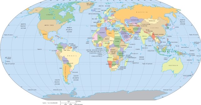
(Multiple Choice)
4.8/5 (32)
Which of the following has the least legitimacy as a state and why?
(Multiple Choice)
4.9/5 (37)
The difference between Japan and the United States when referring to each as 'nations' is that
(Multiple Choice)
4.7/5 (33)
On the map of the country of Bosnia, you see a red line that signifies 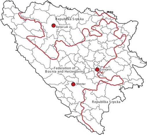
(Multiple Choice)
4.8/5 (37)
Filters
- Essay(0)
- Multiple Choice(0)
- Short Answer(0)
- True False(0)
- Matching(0)