Not Answered
Map Exercise 17-1
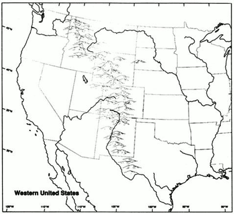 Refer to Map Exercise 17-1 Mark the location of and label each of the following:
Abilene, Kansas
Boise, Idaho
Butte, Montana
Cheyenne, Wyoming
Chicago, Illinois
Coeur d'Alene, Idaho
Council Bluffs, Iowa
Deadwood, South Dakota
Denver, Colorado
Dodge City, Kansas
Duluth, Minnesota
El Paso, Texas
Fargo, North Dakota
Helena, Montana
Houston, Texas
Kansas City, Kansas
Leadville, Colorado
Los Angeles, California
New Orleans, Louisiana
Ogallala, Nebraska
Ogden, Utah
Omaha, Nebraska
Portland, Oregon
Promontory Point, Utah
Sacramento, California
Salt Lake City, Utah
San Antonio, Texas
San Francisco, California
Santa Fe, New Mexico
Seattle, Washington
St Louis, Missouri
St Paul, Minnesota
Tombstone, Arizona
Topeka, Kansas
Tucson, Arizona
Virginia City, Montana
Virginia City, Nevada
Correct Answer:

Verified
Correct Answer:
Verified
Q8: What were the political, social, economic, and/or
Q17: In 1890, agents of the federal government
Q27: Discuss the characteristics of the crop-lien system,
Q28: Identify and state the historical significance of
Q32: What were the political, social, economic, and/or
Q40: Which of the following is true of
Q43: What were the political, social, economic,
Q71: Most whites associated with Indian reform groups
Q76: The rapid development of railroads in the
Q94: What were the political, social, economic, and/or