Multiple Choice
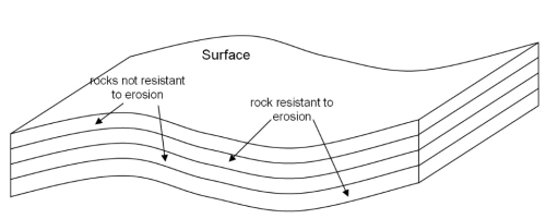
-What can one deduce (figure out) about a region by analyzing stream patterns in an aerial photograph or a map?
A) The geology beneath a stream
B) The age of the stream
C) The discharge of a stream
Correct Answer:

Verified
Correct Answer:
Verified
Q13: Construction of an asphalt parking lot at
Q14: Floods only occur when there is excessive
Q15: The following diagram illustrates the Hydrologic Cycle.
Q16: The following diagram illustrates the Hydrologic Cycle.
Q17: The headwaters of a stream are where
Q19: The following diagram illustrates the Hydrologic Cycle.
Q20: What happens to the volume of water
Q21: <img src="https://d2lvgg3v3hfg70.cloudfront.net/TB10899/.jpg" alt=" What direction is
Q22: Use the diagram to answer this question.<br>
Q23: Which statement about lateral migration is true?<br>A)