Multiple Choice
A map of the type shown where numerically classed shaded areas display patterns is called 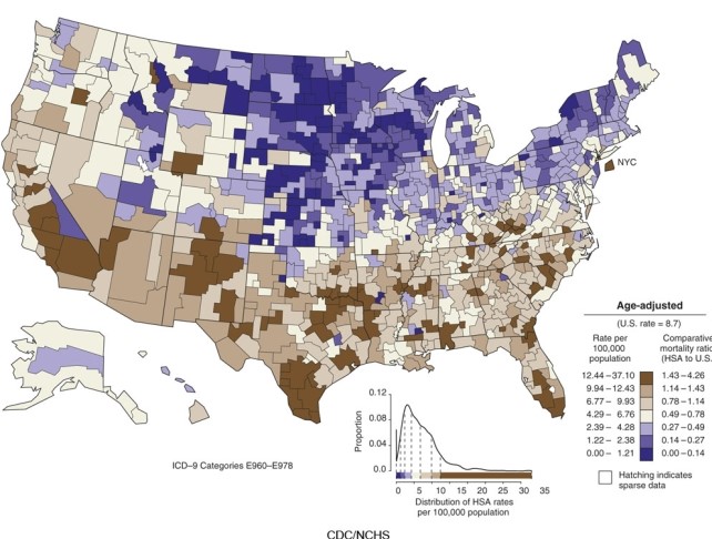
A) a contour map.
B) an isoline map.
C) a choropleth map.
D) a cartogram.
Correct Answer:

Verified
Correct Answer:
Verified
Related Questions
Q25: In this figure, the principle of place
Q26: In the figure, what common criteria for
Q27: If the figure shown is a good
Q28: 'Sense of place' is understanding that, for
Q29: An example of a cognate discipline to
Q31: Formal (or uniform) regions are areas which
Q32: Process is of interest to geographers because<br>A)the
Q33: Which of the following is not true
Q34: Every line of longitude is called:<br>A)a meridian.<br>B)a
Q35: Which of the following does not apply