Exam 1: This Introduction Covers the Traditional and Modern Tools and Foundational Concepts in Wide Use in Geography
Exam 1: This Introduction Covers the Traditional and Modern Tools and Foundational Concepts in Wide Use in Geography134 Questions
Exam 2: Portrait of the Atmosphere133 Questions
Exam 3: Solar Energy and Seasons135 Questions
Exam 4: Water in the Atmosphere146 Questions
Exam 5: Atmospheric Circulation and Wind Systems145 Questions
Exam 6: The Restless Sky: Severe Weather and Storm Systems137 Questions
Exam 7: The Changing Climate147 Questions
Exam 8: Patterns of Life: Biogeography150 Questions
Exam 9: Climate and Life: Biomes135 Questions
Exam 10: Ocean Ecosystems135 Questions
Exam 11: Soil and Water Resources142 Questions
Exam 12: Earth History, Earth Interior124 Questions
Exam 13: Drifting Continents: Plate Tectonics142 Questions
Exam 14: Building the Crust With Rocks139 Questions
Exam 15: Geohazards: Volcanoes and Earthquakes148 Questions
Exam 16: Weathering and Mass Movement140 Questions
Exam 17: Flowing Water: Fluvial Systems136 Questions
Exam 18: The Work of Ice: the Cryosphere and Glacial Landforms143 Questions
Exam 19: Water, Wind, and Time: Desert Landforms135 Questions
Exam 20: The Work of Waves: Coastal Landforms138 Questions
Select questions type
If you were a forest manager and you were assigned the task of finding areas most in need of new tree plantings, what information and technology might be most useful to you?
(Essay)
4.7/5  (36)
(36)
 -The origin is found at 0 degrees latitude and 0 degrees longitude.
(True/False)
4.8/5 (42)
-A hypothesis is an idea that can be tested and proved incorrect.
(True/False)
4.8/5 (38)
-If people continue to walk along a contour line, what will eventually happen?
(Multiple Choice)
4.9/5 (45)
How many degrees of latitude separate the equator from the North Pole?
(Multiple Choice)
4.8/5 (34)
-The process of science works by first having an idea, then collecting only those data that support the idea.
(True/False)
4.8/5 (32)
Explain the history of Easter Island from the perspective of our scientific understanding.What happened and why did it happen?
(Essay)
4.7/5 (35)
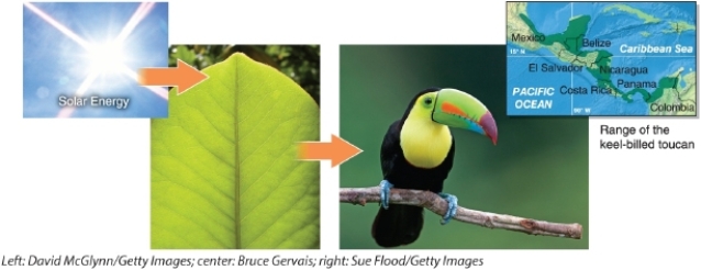
-Which statement describes the transformation of energy shown in this figure? 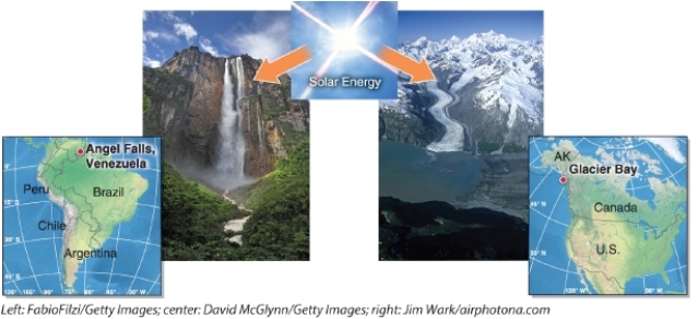
(Multiple Choice)
5.0/5 (39)
 -Which technology can be used to map rainfall in a hurricane?
(Multiple Choice)
4.8/5 (37)
-The oceans cover __________ percent of the planet's surface.
-The oceans cover __________ percent of the planet's surface.
(Multiple Choice)
4.7/5 (38)
-The highest point on Earth is Mount Everest at 8,848 meters (29,029 feet).
(True/False)
4.9/5 (38)
-Contour lines are used on topographic maps to show changes in elevation.
(True/False)
4.8/5 (42)
-Temporal scale refers to size, length, distance, or area of an object or process.
(True/False)
4.9/5 (39)
Which map scale is still accurate after a map has been reduced or enlarged from its original size?
(Multiple Choice)
4.8/5 (34)
Native Easter Islanders thought that the large statues "walked" to their present locations along the coast.Explain how this seemingly impossible notion could actually have a scientific basis.
(Essay)
4.9/5 (36)
Filters
- Essay(0)
- Multiple Choice(0)
- Short Answer(0)
- True False(0)
- Matching(0)