Exam 1: The Nature of Physical Geography
Exam 1: The Nature of Physical Geography84 Questions
Exam 2: Energy and Matter in the Atmosphere81 Questions
Exam 3: Atmospheric Motion81 Questions
Exam 4: Atmospheric Moisture85 Questions
Exam 5: Weather Systems and Severe Weather83 Questions
Exam 6: Atmosphere-Ocean-Cryosphere Interactions93 Questions
Exam 7: Climates Around the World82 Questions
Exam 8: Water Resources83 Questions
Exam 9: Understanding Landscapes150 Questions
Exam 10: Plate Tectonics and Regional Features137 Questions
Exam 11: Volcanoes,deformation,and Earthquakes218 Questions
Exam 12: Weathering and Mass Wasting81 Questions
Exam 13: Streams and Flooding98 Questions
Exam 14: Glaciers and Glacial Landforms75 Questions
Exam 15: Coasts and Changing Sea Levels80 Questions
Exam 16: Soils90 Questions
Exam 17: Ecosystems and Biogeochemical Cycles90 Questions
Exam 18: Biomes85 Questions
Select questions type
The number of degrees of longitude that a place has is derived from the angle formed by the place's location on the Earth surface,
Free
(Multiple Choice)
4.9/5  (30)
(30)
Correct Answer: Verified
C
Which of the following statements is true about the transfer of energy,matter,or momentum in the atmosphere?
Free
(Multiple Choice)
4.7/5 (44)
Correct Answer:Verified
B
Which of the following would be an example of qualitative data?
Free
(Multiple Choice)
4.7/5 (38)
Correct Answer:Verified
D
How does spilled oil,such as that in the 2010 Deepwater Horizon spill,affect oceanic organisms?
(Multiple Choice)
4.7/5 (31)
In the rock cycle,sediment is stripped away and transported by the process of ________ after the process of ________ has taken place.
(Multiple Choice)
4.7/5 (26)
On the map below,all of the following would be considered "interpretations" except 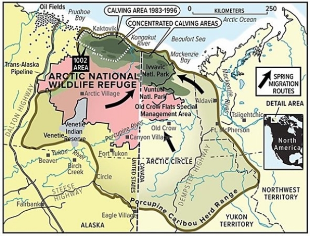
(Multiple Choice)
4.9/5 (29)
Which of the following coordinate systems is used outside of the United States?
(Multiple Choice)
4.8/5 (41)
0° of latitude is found at the ________,and 90° of latitude is found at the ________.
(Multiple Choice)
4.8/5 (33)
In the Public Land Survey System (PLSS),beginning at the Principal Meridian,the land is subdivided into six-mile-wide,north-south strips of land called ________; beginning at the Base Line,the land is subdivided into six-mile-wide,east-west strips of land called ________.
(Multiple Choice)
4.8/5 (36)
The difference between active and passive remote sensing systems is that
(Multiple Choice)
4.8/5 (39)
The concept of overlay in geographic information systems (GIS)refers to the
(Multiple Choice)
4.9/5 (33)
The relationship between mountains and precipitation can be generalized by saying that
(Multiple Choice)
4.8/5 (37)
If it is 9:00 a.m.in your time zone,two time zones west of you the clock will say
(Multiple Choice)
4.8/5 (33)
One of the main topics discussed in the opening two-page spread of Chapter 1 (The Nature of Physical Geography)was
(Multiple Choice)
4.8/5 (37)
The spatial interpolation features of a geographic information system (GIS)would be most useful when a researcher needs to
(Multiple Choice)
4.8/5 (29)
Filters
- Essay(0)
- Multiple Choice(0)
- Short Answer(0)
- True False(0)
- Matching(0)